Pictures
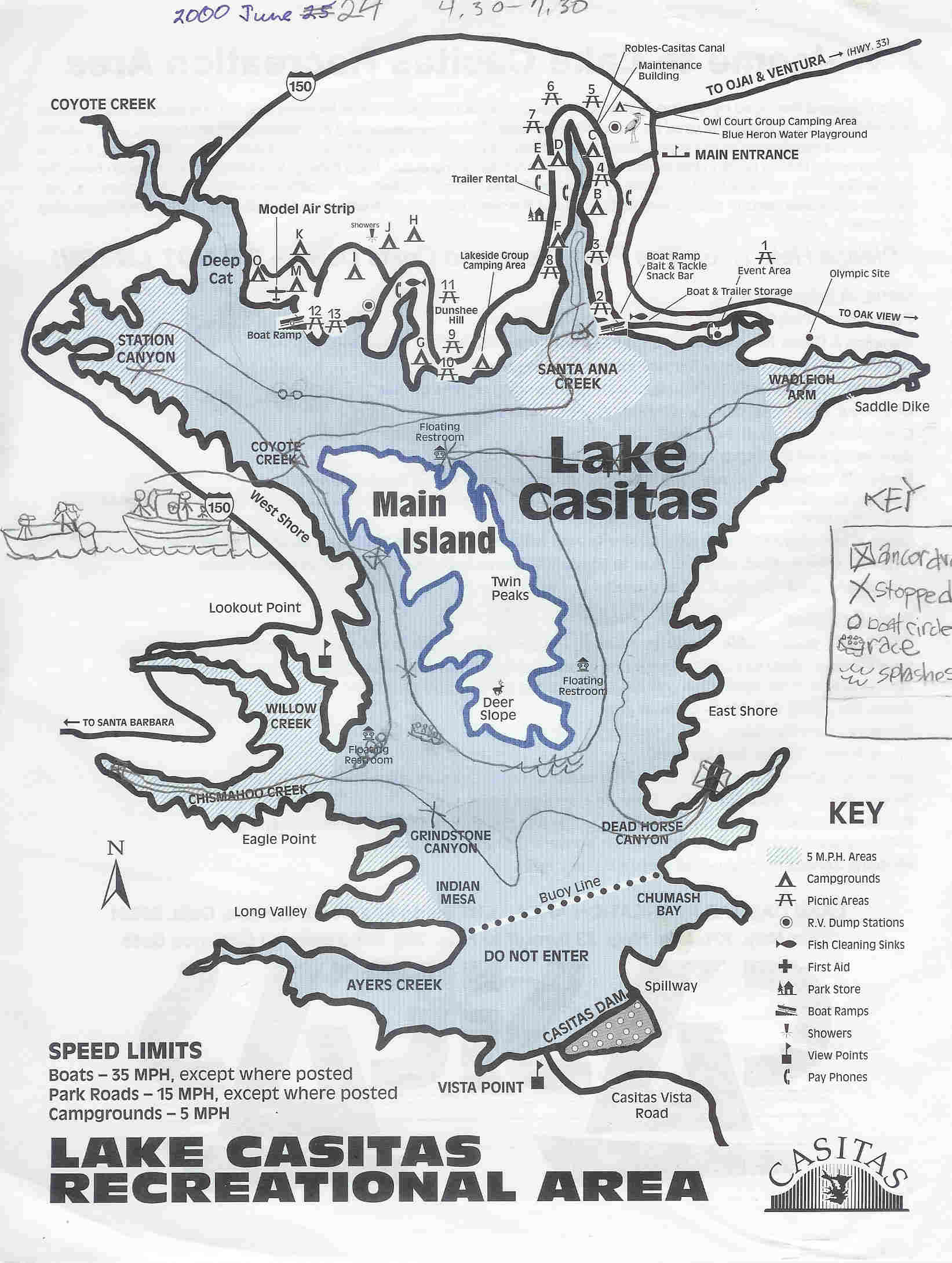
Map of Lake Casitas (near Ojai) where, beginning from the mouth of Santa Ana Creek in the upper right, I've drawn in the path of our motor boating trip. On the middle left, Katy has diagramed the end where we towed another, larger motor boat back up to the dock. That's dad in the back of the lead boat looking ... worried. |
 |
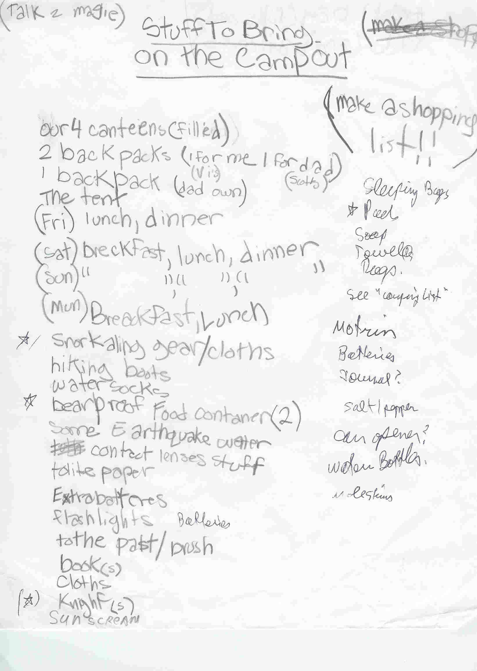
Camping list, handwritten by Katy from dad's dictation. (For the complete, unedited, all-occasions family camping list, see Appendix F.) |
 |
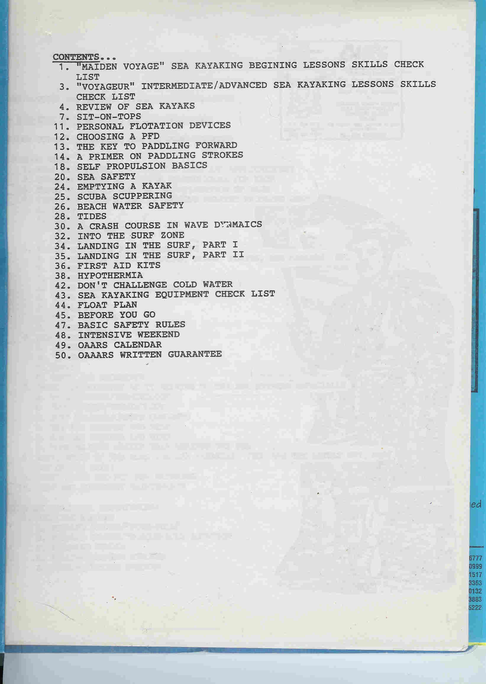
Cover of the OAARS Maiden Voyage kayak training manual. Contains various articles about proper kayaking technique, safety, and disasters at sea. |
 |
Katy having lunch at the fork in the road on the Mt. Wilson Toll Road above Pasadena. On the way to East Santa Cruz Island with our OAARS kayaks for Waves and Caves catered kayaking. Some kayak accessible location on East Santa Cruz Island. |
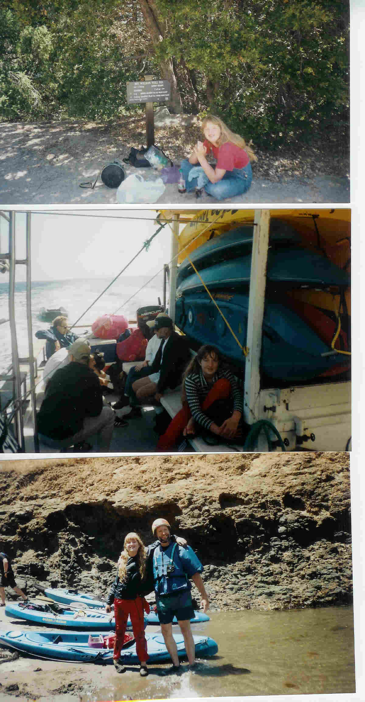 |
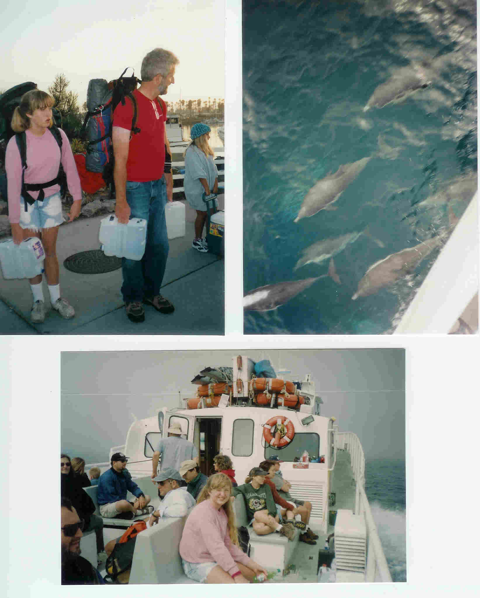
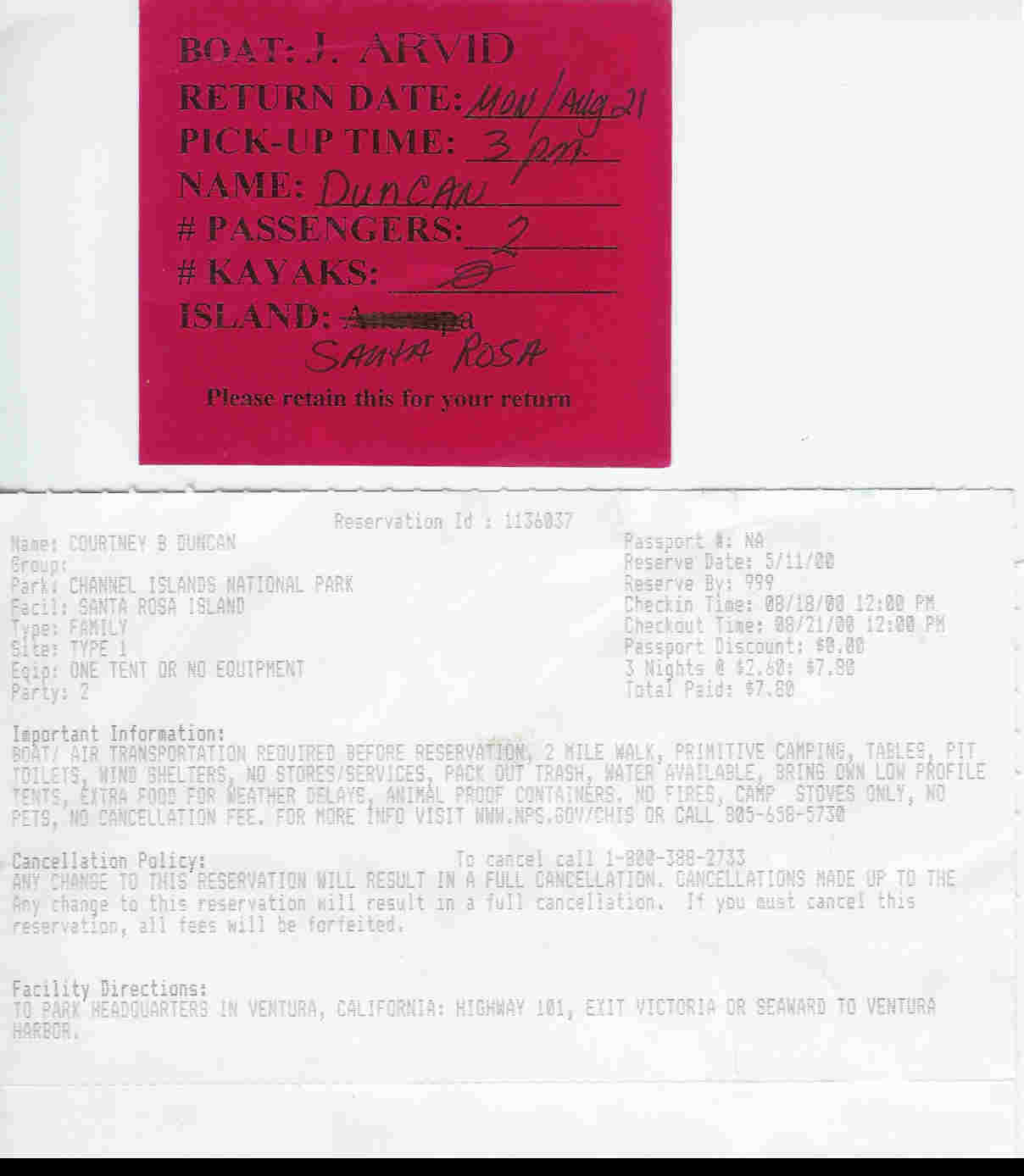
Waiting at the Island Packer's Pier with with our packs and water. Thousands of dolphins joined the boat and played in its wake for part of the 3-1/2 hour cruise. Motoring from Oxnard to Santa Rosa Island on Island Packer's Jeffrey Arvid. |
 |
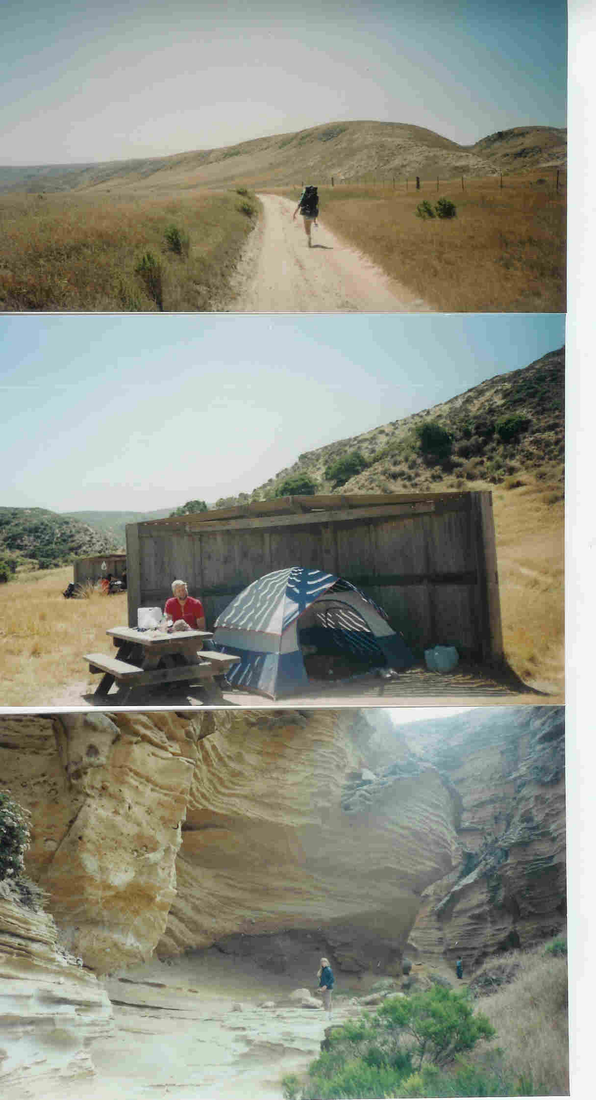
On the trail between the pier on Santa Rosa and the campground. The landing strip is somewhere to the left, the ocean just beyond that. Our tent in the wind shelter in the campground canyon. Katy exploring a sandstone side canyon on the Lobo Canyon hike. |
 |
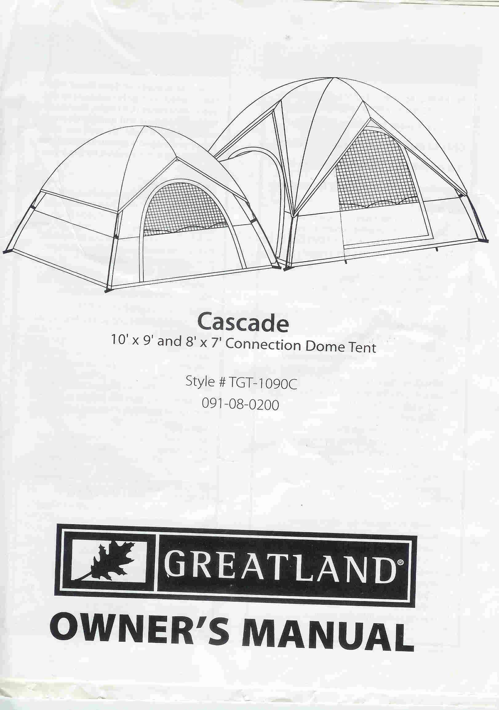
The manual for our Greatland tents. On this trip we used only the smaller one. The opening for the in-between tunnel became a second door. |
 |
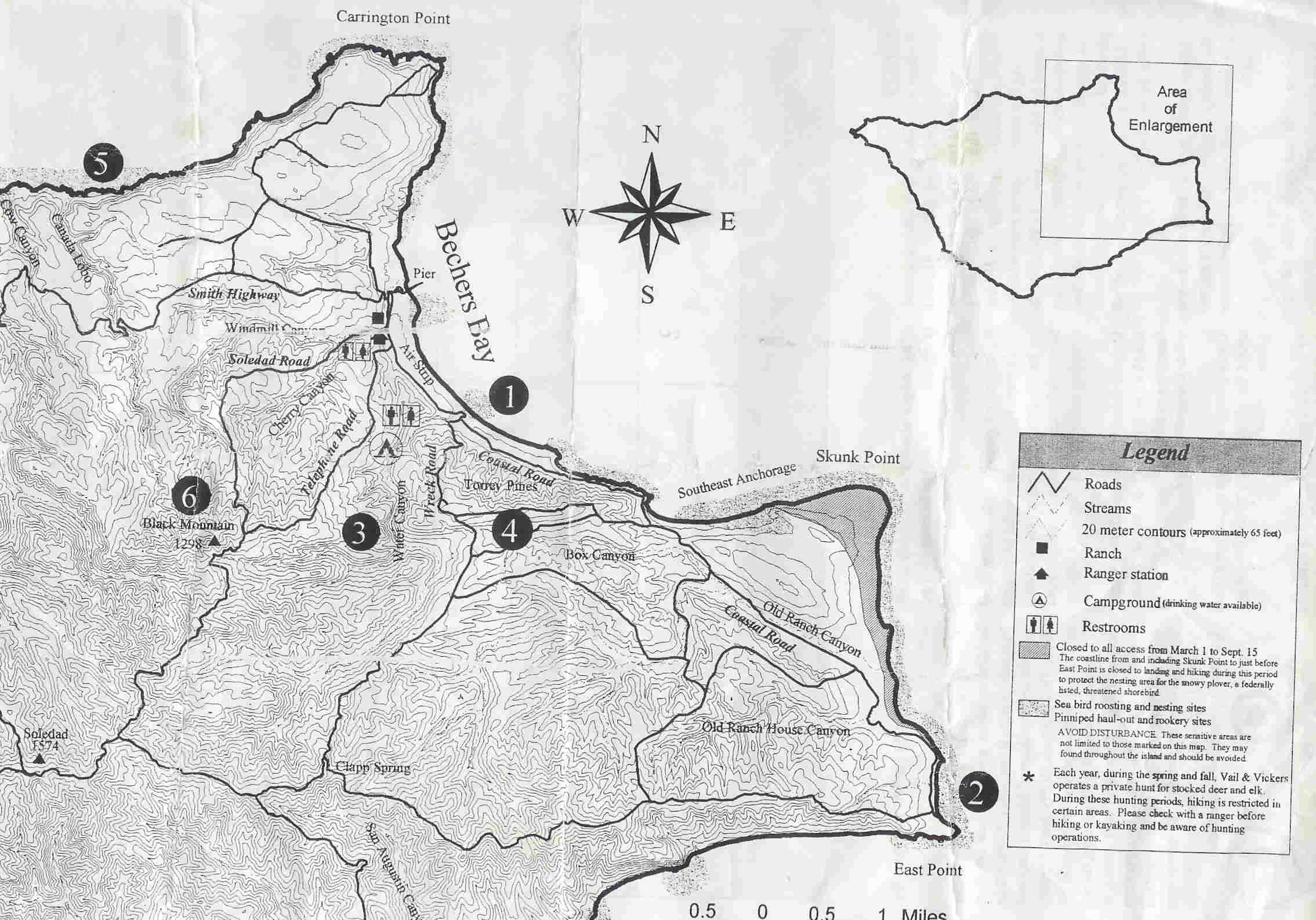
Map of Santa Rosa Island showing the places we went. The pier points at the "ch" in "Bechers Bay". The campground is just above the number "3". Lobo Canyon is "5" East Point is "2" |
 |
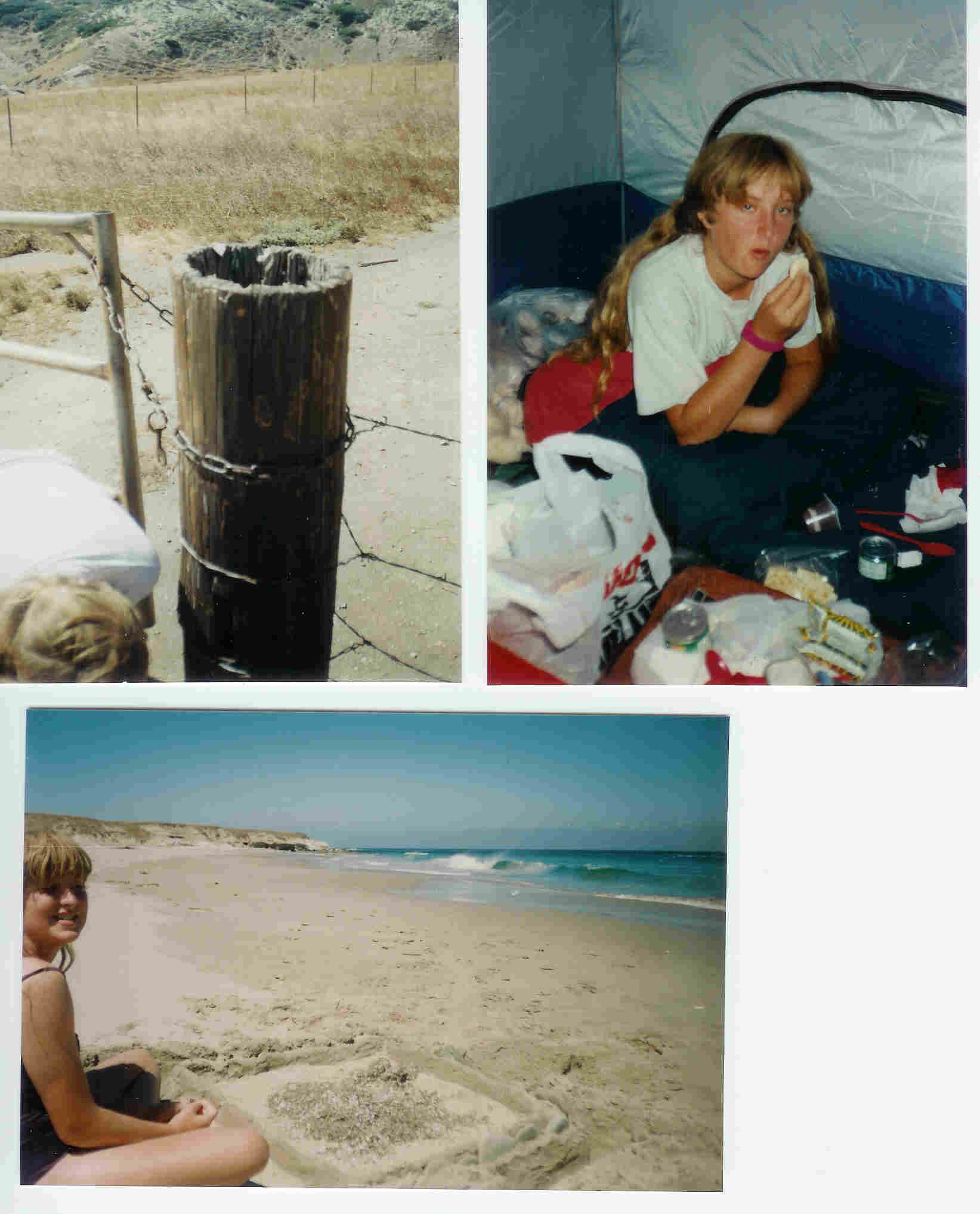
The gatepost with a colony of ladybugs in it. (Not visible from this angle.) Katy in the tent. The sand castle protecting treasures at East Point. |
 |
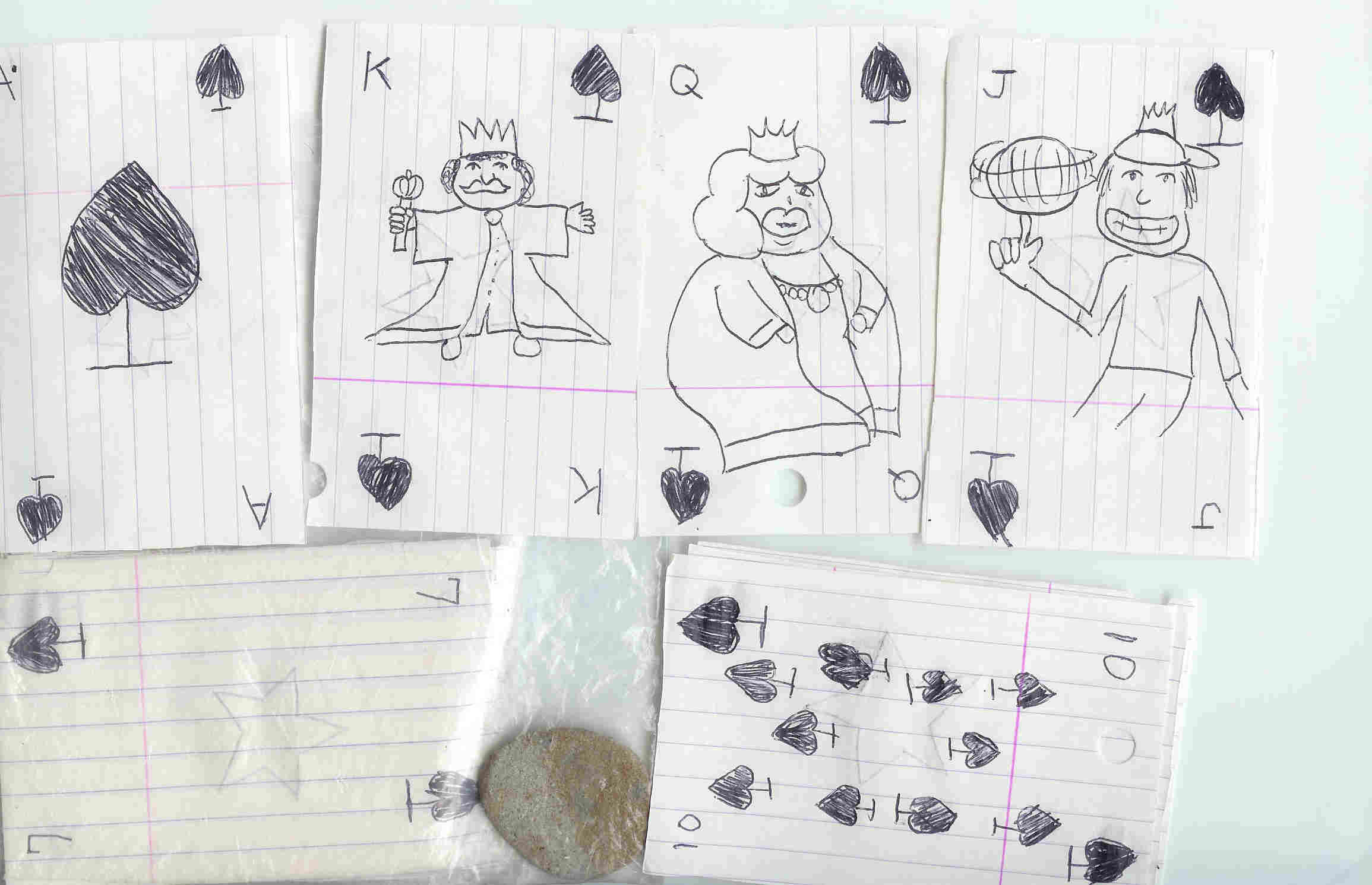
Playing cards that we made from cut-up notebook paper. Note the pebble in the plastic bag which was intended to help keep the whole thing from blowing away. |
 |
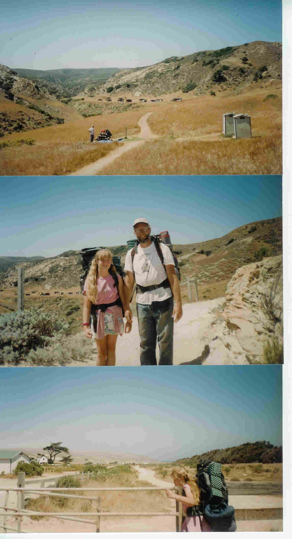
View of the campground from the entrance. The toilets are on the right. The campsites are in the middle, huddled against the wind. Hiking out Monday afternoon. Opening a horse gate. The developed part of the island, near the pier, is seen on the left. The trees on the right are an old windbreak. The ocean is just beyond, and somewhat below, that. |
 |
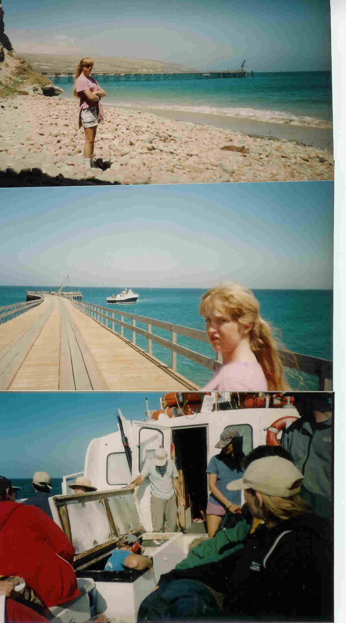
Katy on the beach with the pier in the background. "Was I mad about something?" The Jeffrey Arvid arriving to pick us up. (Reminds me of Halley Mills.) The skipper going below to check out the blown engine. Luckily, the Jeffrey Arvid had two! |
 |
Our boat and campsite reservations. |
 |
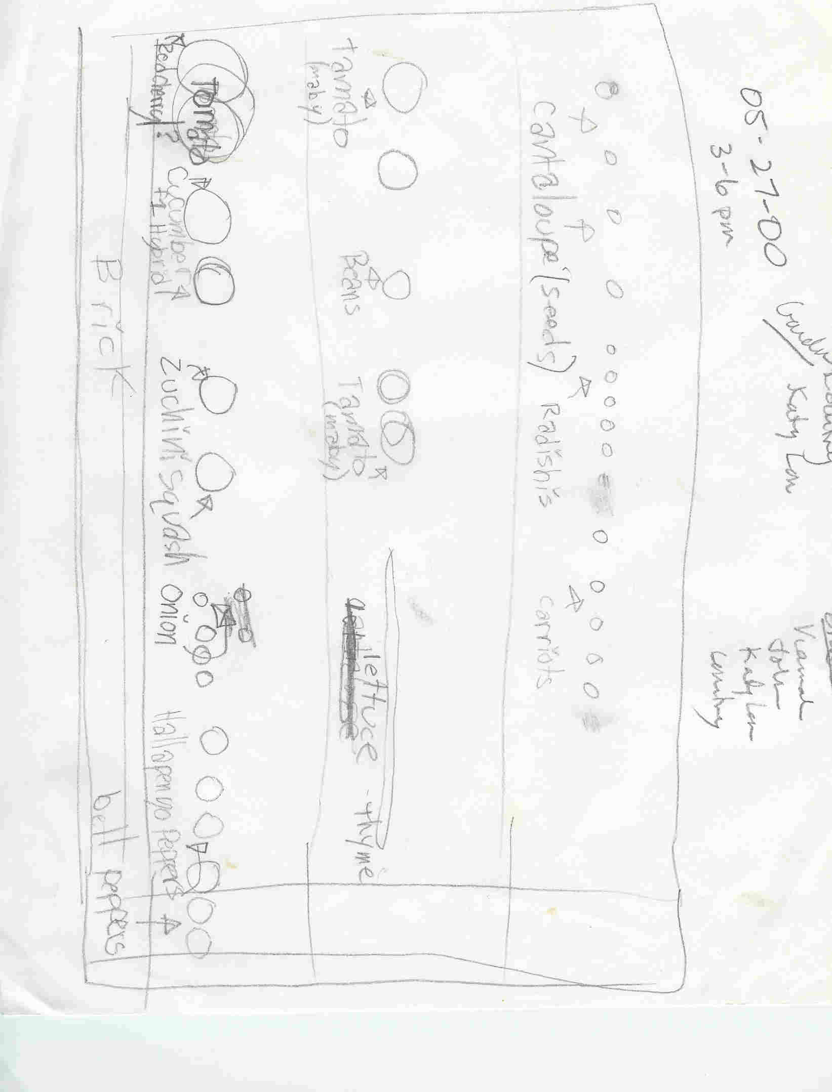
Plans for our back yard garden, spring of 2000. (This really has nothing to do with the Adventure with Katherine except that she drew this plan.) |
 |